2026 Speakers

Sarah Brenneman
GISP and GIS Specialist | Cultivate Geospatial Solutions
Sarah Brenneman is a Purdue alum and an Indiana-based Esri Gold Partner specializing in GIS implementation and software development. She leads projects for utilities, local government, and higher education, focusing on mobile field workflows, Python automation, and asset management integration. Her work centers on building tools that cut manual effort and get reliable data into the hands of the people who use it. Sarah is also active in the GPN Vanguard Cabinet, where she helps lead the mentoring subcommittee.
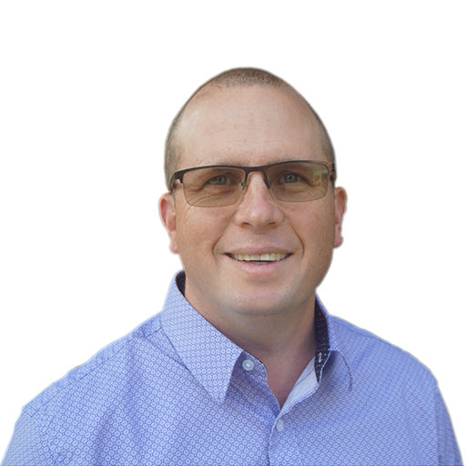
Tom Brenneman
Co-founder and Chief Technology Officer | Cultivate Geospatial Solutions
Tom Brenneman spent 25 years at Esri before starting Cultivate Geospatial Solutions (CGS), a GIS implementation and software development firm based in Indiana. Today he leads the technical direction for CGS’s client work and its software products, with a focus on using AI to build GIS and asset management solutions. Tom holds a B.S. in Environmental Science from the University of Redlands and is a GISP. He lives in Noblesville, Indiana, and has a daughter who is a Purdue graduate working in GIS at CGS.

Anna Burman
Senior GIS Analyst | Purdue University
Anna Burman has 18 years of experience in GIS, transitioning from county government to Purdue University in 2015. Her work includes platform administration, managing Purdue’s ArcGIS Enterprise Portal and its users; data stewardship, including land records across 23 Indiana counties and campus infrastructure inventories; and developing maps and web applications, ranging from dashboards to exhibits for the Board of Trustees. She also leads accessibility efforts for public-facing maps and provides GIS training and support to users across her division.

Marianne Cardwell
Chief Geographic Information Officer | State of Indiana
Marianne Cardwell is the chief geographic information officer (CGIO) for the State of Indiana. She holds a B.S. in Geography from Michigan State University, an M.S. in Geographic and Cartographic Sciences from George Mason University, and a Graduate Certificate in Data Science from Indiana University. Prior to joining the state, she was a GIS consultant for 25 years. She started out as a GIS Analyst and Programmer, becoming a group manager, project manager, and finally the Director of Geoinformatics for the Polis Center at IU Indy. She has worked in many different areas, including defense, intelligence, local government, airports, and utilities. As CGIO, Marianne functions as the chief officer for GIS matters for state agencies and sits on the Statewide 911 Board.
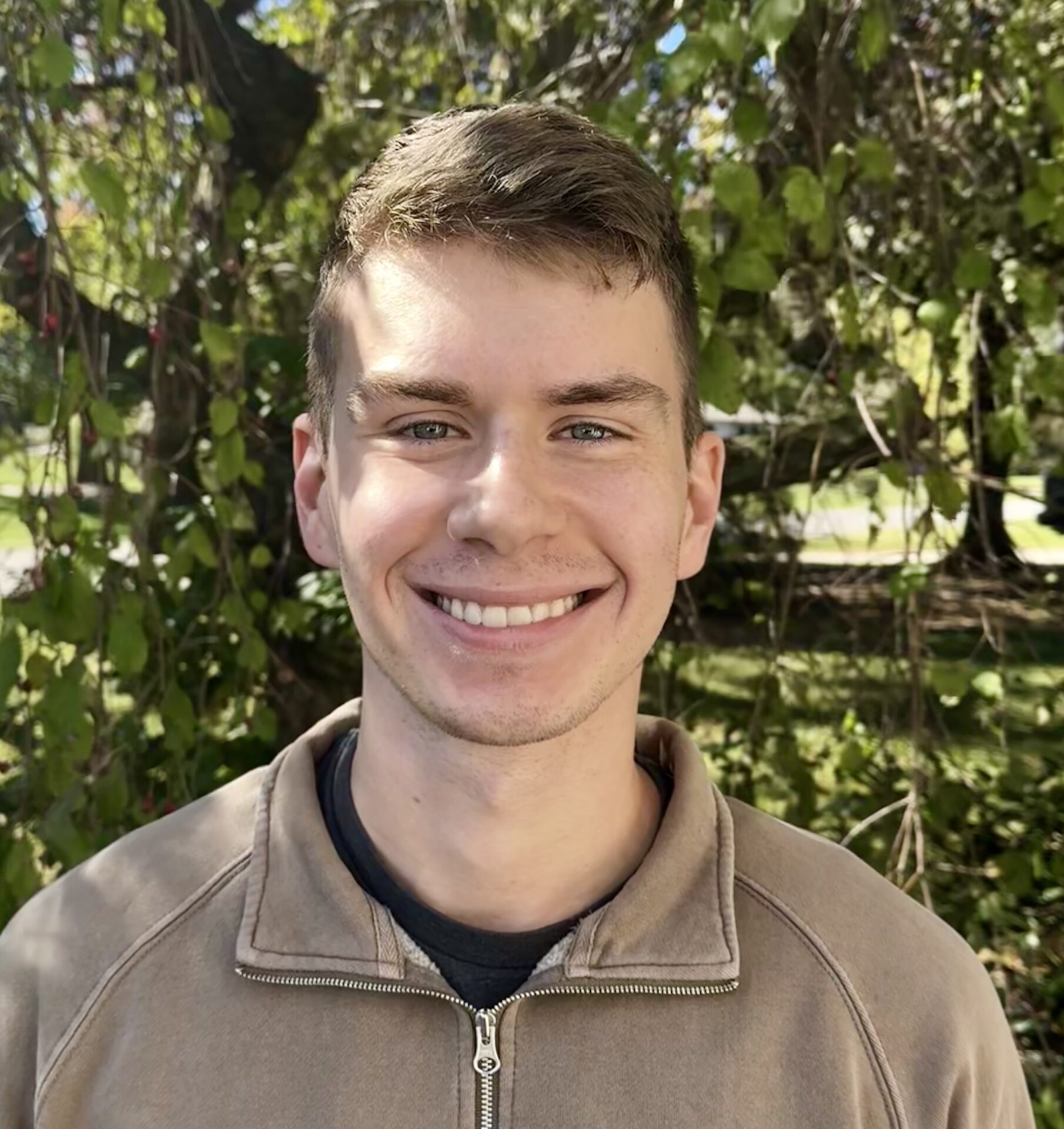
Daniel Council
Geographic Information Outreach Coordinator | Indiana Geographic Information Office (IGIO)
Daniel Council is a geographic information outreach coordinator for the Indiana Geographic Information Office (IGIO), working closely across the northern region of Indiana to foster relationships in the GIS community. He received his Bachelor’s in Geography from Ball State University and his Master’s in Spatial Analysis from Toronto Metropolitan University. Council has a diverse GIS background spanning multiple positions, including research on crowdsourced mapping, county government, and geodemographic analysis for marketing purposes.

Travis Cole
GIS Analyst and Developer | Hamilton County, Indiana
Travis Cole earned a Geology degree with a GIS minor from Colorado Mesa University. He has used GIS throughout his career as a Hydrologist and Geologist. Since 2021, he has served as a GIS analyst and developer for Hamilton County, Indiana, maintaining GIS systems and applications and creating tools, scripts, and processes that improve workflows across the County. His work supports data‑driven decision‑making and advances modern GIS capabilities for staff and residents.
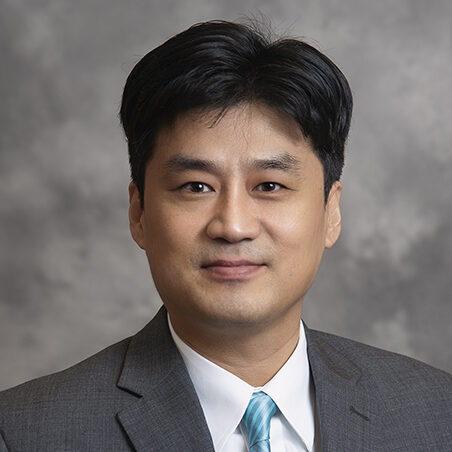
Jinha Jung
Associate Professor of Civil Engineering, Geomatics | Purdue University
Dr. Jung is an associate professor in the School of Civil Engineering at Purdue University. He received his Ph.D. degree in Geomatics – Civil Engineering, specializing in Computational Science & Engineering at Purdue University in 2011. He worked as a postdoctoral research associate at the University of Illinois at Chicago & Purdue University and worked as a faculty at Texas A&M University-Corpus Christi from 2014 until he joined Purdue University in 2019. Dr. Jung is noted for his work in 1) the development of UAS based High Throughput Phenotyping system for agriculture applications, 2) developing algorithms to process UAS data for feature extraction, 3) data fusion of hyperspectral and full-waveform LiDAR data, 4) vegetation structural analysis using LiDAR data, 5) high-performance computing for advanced remote sensing algorithm development, and 6) WebGIS software development using Free and Open Source Software (FOSS).
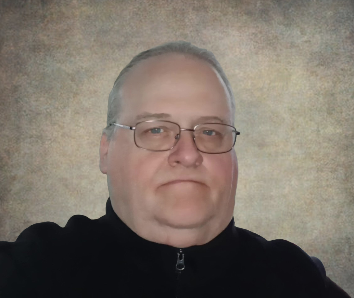
Tom Kaenrath
GIS Analyst | Purdue University
Tom Kaenrath is a GIS analyst with Purdue University’s Administrative Operations – Facilities Information Services, where he has worked for the past two years. He brings more than 25 years of experience in engineering, land surveying, and GIS, including 15 years supporting university facilities management. His background includes facilities records management, Space Occupancy data administration, and GIS-based solutions. At Purdue, he supports utility mapping, data integrity initiatives, and the development of web applications that help internal stakeholders access and manage critical infrastructure information.

Kavita Kulkarni
Senior GIS Manager | Purdue University
Kavita C. Kulkarni is a senior GIS manager and geospatial technology leader with more than 13 years of experience in enterprise GIS administration, geospatial infrastructure modernization, spatial analytics, emergency management systems, and location intelligence.
Currently serving as Senior GIS Manager at Purdue University, she leads enterprise GIS strategy and administration across facilities, utilities, transportation, planning, asset management, administrative operations, and other areas. Before joining Purdue University, she served as GIS Administrator for Tippecanoe County Government, where she led countywide GIS operations and enterprise geospatial infrastructure supporting multiple departments, public safety agencies, and external stakeholders.
Earlier in her career, she worked as a cartographer with TomTom and as a GIS analyst for the Shelter Association in India before moving to the United States.
Siddhartho (Sidd) Paul
Assistant Professor of Geospatial Science | Purdue University
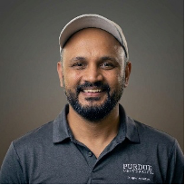
Dr. Siddhartho (Sidd) Paul is a geospatial scientist whose research seeks to understand the impacts of land management and weather variability on soil and agroecosystem sustainability across field-to-landscape scales. His work integrates earth observation, geospatial data analytics, and modeling to support data-driven agronomic decision-making, sustainable land management, and resilient agroecosystems. He is currently an Assistant Professor of Geospatial Science at Purdue University. Prior to joining Purdue in 2023, he was a Research Scientist at Agriculture and Agri-Food Canada and a Postdoctoral Researcher at the Swedish University of Agricultural Sciences. He earned his Ph.D. in Soil Science from the University of British Columbia, Canada.
Shaun Scholer
GIS Program Director | State of Indiana
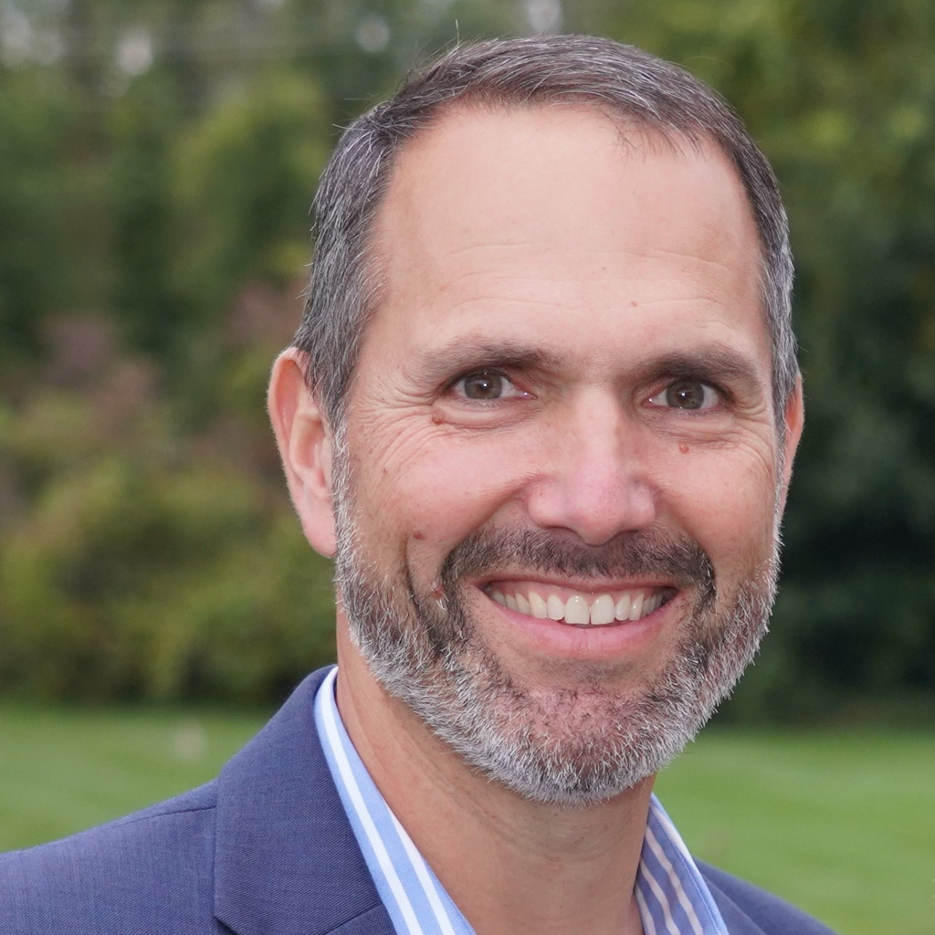
Shaun Scholer leads the imagery and elevation programs for the Indiana Geographic Information Office (IGIO). He received his bachelor’s degree in aviation from ISU in 1993 and a master’s degree in Geography with an emphasis on GIS and Remote sensing from ISU in 1995. During his 28-year career in GIS, he worked to foster partnerships to identify needs, determine effective GIS policy-level decisions, and implement practical, effective GIS initiatives. Shaun has also served in multiple leadership roles within IGIC.

Shaowen Wang
Professor and Associate Dean | University of Illinois Urbana-Champaign
Dr. Wang is a professor in the Department of Geography and Geographic Information Science and the Siebel School of Computing and Data Science at the University of Illinois Urbana-Champaign (UIUC). He also serves as associate dean for Natural and Mathematical Sciences in the College of Liberal Arts & Sciences and as a Senior Faculty Fellow in the Office of the Vice Chancellor for Research and Innovation at UIUC. He is the founding director of UIUC’s CyberGIS Center for Advanced Digital and Spatial Studies and leads the national Institute for Geospatial Understanding through an Integrative Discovery Environment (I-GUIDE) funded by the National Science Foundation.
He previously served as Head of the Department of Geography and Geographic Information Science (2017-2023) and as Associate Director of the National Center for Supercomputing Applications for CyberGIS (2010-2017). He was a Visiting Scholar at Lund University (2006) and Harvard University (2023). He served as President of the University Consortium for Geographic Information Science (UCGIS) from 2016 to 2017 and as a member of the National Academies’ Board on Earth Sciences and Resources from 2015 to 2020. He is a Fellow of the American Association for the Advancement of Science, the American Association of Geographers, and UCGIS. He received a B.S. in computer engineering from Tianjin University, an M.S. in geography from Peking University, and an M.S. of computer science and a Ph.D. in geography from the University of Iowa.
His research focuses on advancing cyberGIS, geospatial data science, and spatial artificial intelligence to develop scalable solutions for complex geospatial problems and sustainability challenges.
Sponsors