2018 GIS Day Conference
When: Thursday, November 1st 2018. 9:00am – 4:30pm
Where: STEW 206, 214 & 279, Purdue University

| Time | Activities |
| 9:00–9:30 AM | Coffee social (STEW 206) Poster setup (STEW 214) |
| 9:30–10:00 AM | Lightning talks (STEW 206) Repatriation of Galician Jewish Refugees from Budapest in October 1914, Stanislav Pejša Economic Performance and Diversity — Indiana During the Great Recession of 2008, Santiago Ruiz Exploring Gentrification in the IndyEast Promise Zone, Carolina Ortiz-Dominguez How much do Purdue’s trees weigh? Estimating biomass in urban areas, Jacob Klaybor Homeowner-Level Decision Support System for Mitigating Coastal Flood Risk in Louisiana, Tugce Sahan |
| 10:00–11:00 AM | Keynote speaker: Dr. Nicolas Picard, Food and Agriculture Organization of the United Nations GIS for natural resources management at United Nation (STEW 206) |
| 11:00 AM–12:20 PM | Presentations (STEW 206) Spatial Humanities: What is and What Can it Be. Prof. Sorin Adam Matei, Associate Dean of Research and Graduate Education, College of Liberal Arts Race and Spatial Humanities Prof. Kim Gallon, Assistant Professor of History Forest structural diversity as a predictor of ecosystem function in North America Dr. Elizabeth LaRue, Forestry and Natural Resources My laptop takes forever, now what! Eric Adams, ITaP Research Computing |
| 12:20–1:30 PM | Career Lunch (STEW 279) RSVP required Featured panelists include: Kari Hicks, Duke Energy Deborah Kuehn, Indiana Department of Natural Resources Megan Compton, Indiana Geographic Information Officer Mark Ehle, Tippecanoe County GIS Administrator Angela Slocum, Assistant Director of Facilities Information Services at Purdue University |
| 1:30–2:00 PM | Poster presentation (STEW 214) |
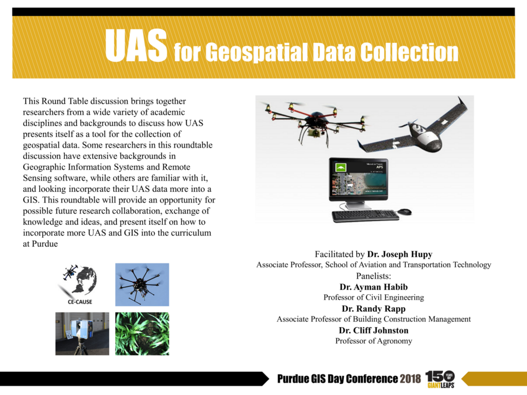
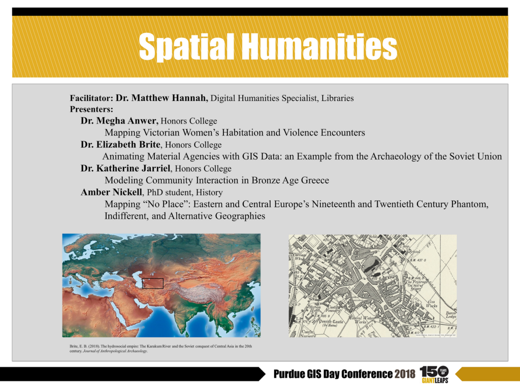
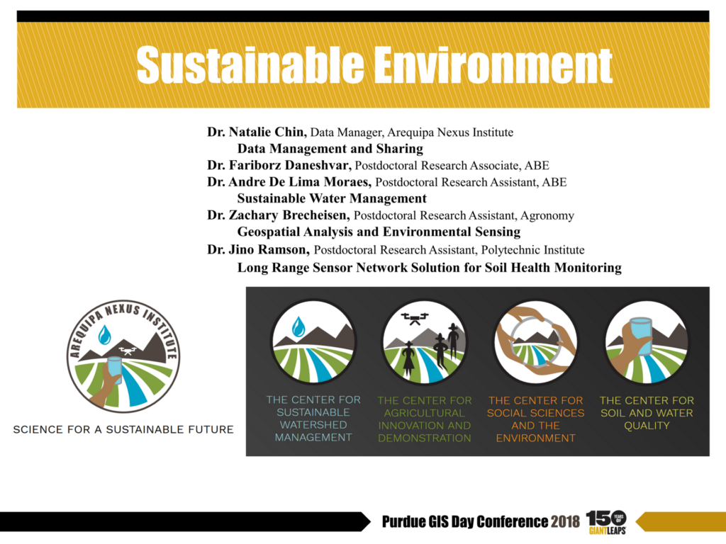
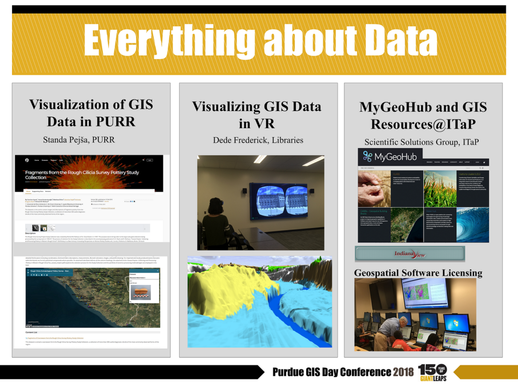
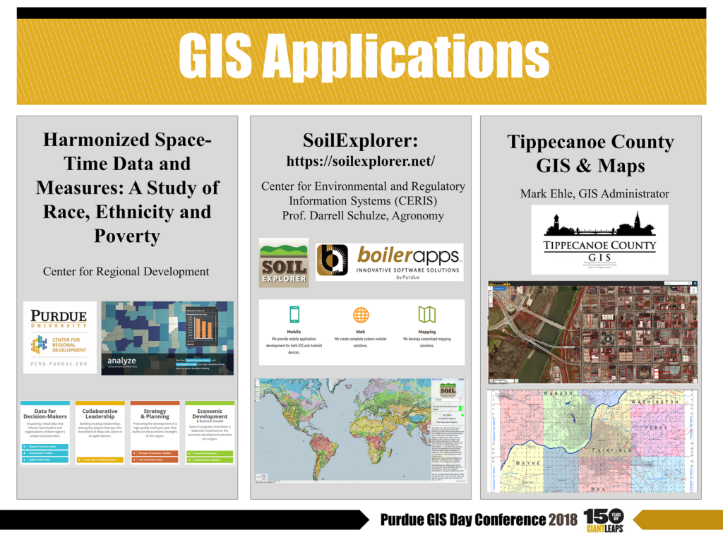
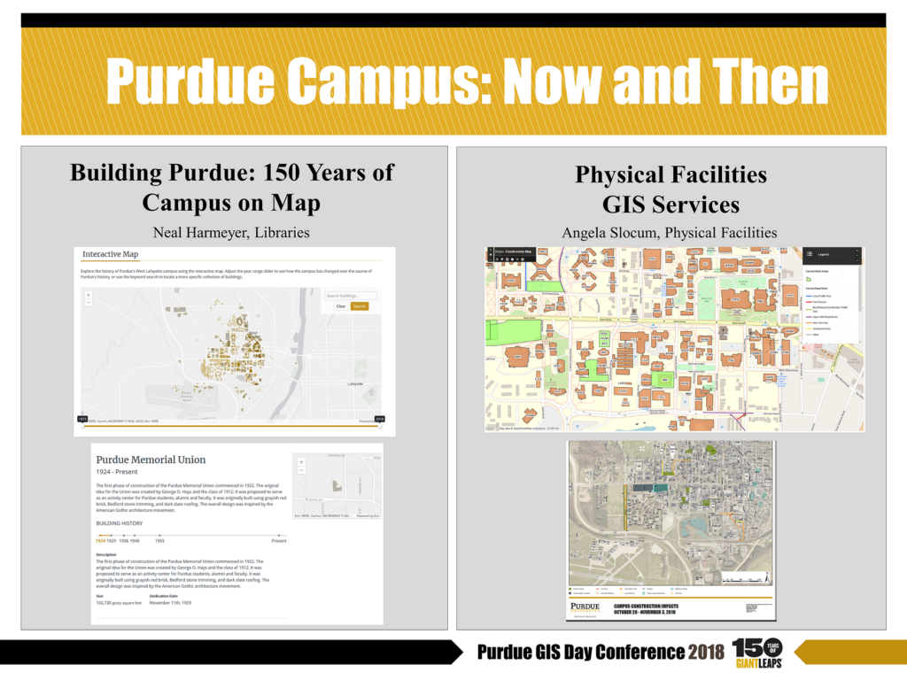
| 2:00–4:00 PM | ROUND-TABLE DISCUSSIONS (STEW 214)* Please check posters below for more infoUASSpatial HumanitiesSustainable Environment: Nexus ProjectEverything about Geospatial DataGIS ApplicatonsPurdue Campus: Now and Then |
| 4:00–4:30 PM | Award (STEW 214) |
* Round-table presenters and projects
Purdue Libraries Esri Development Center Student of the Year Contest is now OPEN
The EDC Student of the Year is an annual award open to all Purdue students, sponsored by Purdue Libraries Learning Council. The winner will be recognized as Student of the Year for outstanding achievements in development of innovative tools, applications or techniques using ArcGIS platform. Each year the winner will be awarded with a plaque, cash prize (currently $500) and one Esri Developer Summit registration. For more details, please visit https://www.lib.purdue.edu/gis/edc
Questions? Contact geohelp@purdue.edu
The GIS Day Conference 2018 is co-sponsored by the Purdue College of Agriculture and the Department of Forestry and Natural Resources, the Graduate School at Purdue University, Purdue Honors College, Purdue Krannert School of Management, Purdue Polytechnic Institute, and the Purdue College of Veterinary Medicine.